

We start with just a couple of ordinary photos. Unlike traditional methods that require extensive photography or laser scanning, DWM is designed for efficiency, using these images as initial visual cues.


Represents the invisible world of ambient signals (like Wi-Fi or Bluetooth) within the space. DWM's "Signal-Guided Reconstruction" technology captures and analyzes these signal patterns, creating a unique "signal fingerprint." This signal data provides crucial underlying structural information about the room's layout, even before extensively analyzing the photos.
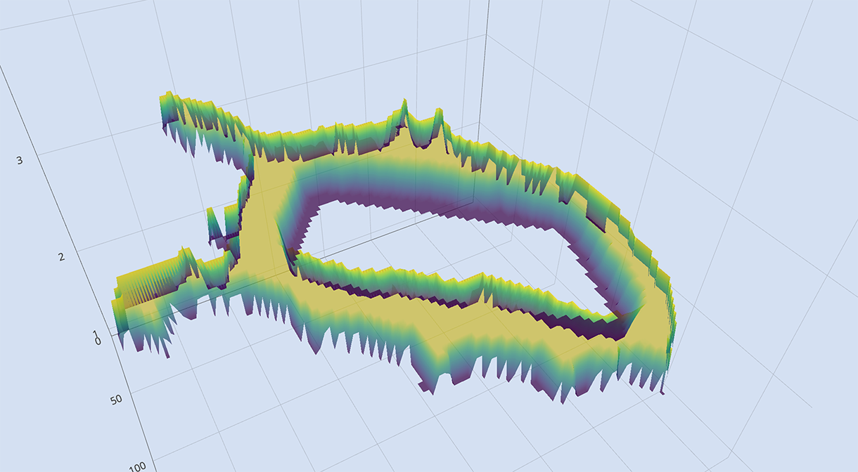
Emerging from the analysis of the signal map and initial photo cues, DWM generates a foundational floor plan. This demonstrates an early understanding of the space's basic geometry, boundaries, and dimensions, largely inferred from how signals propagate and reflect.

The system then begins to populate this foundational geometry with 3D points derived from both the visual data and the structural understanding provided by the signals. Each point represents a coordinate in 3D space, starting to give form and depth to the environment.
With the foundational point cloud established, DWM diverges from traditional 3D modeling. Instead of building a rigid and computationally heavy polygonal mesh, we employ cutting-edge Gaussian Splatting technology to generate a vibrant, photorealistic, and dynamic scene.
Our AI leverages the initial signal-guided point cloud to intelligently position these splats, effectively "painting" a detailed 3D scene that can be rendered in real-time with stunning realism. As our DePIN network crowdsources more data—another photo from a new angle, an updated signal reading—DWM can seamlessly add or refine splats. This allows the digital twin to evolve, becoming richer, more detailed, and more accurate over time without needing to be rebuilt from scratch.
Next, these individual points are connected to form a "mesh" – a web of interconnected polygons (typically triangles). This step transforms the sparse point cloud into continuous surfaces, defining the shapes of walls, floors, and other objects within the space.
The culmination of this process is a textured and detailed 3D model. The mesh is refined, and visual information from the initial photos is intelligently mapped onto the reconstructed geometry, resulting in a navigable and recognizable digital twin of the indoor environment.
